February saw more rain than snow

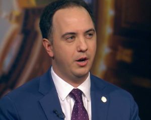
February ended up being much wetter than normal — despite having what state climatologist Justin Glisan calls a “snow drought.”
“We had more rainfall in fact than we did snowfall across the state in February — one of the three driest months of the year. So when we look on the precipitation side, a little over two inches preliminarily of precipitation and that’s about almost an inch above average,” Glisen says.
The month will end up high on the list when it comes to precipitation. “This February will be in the top 20 wettest Februarys on record, and if you remember the last year it was actually the sixth driest February, so quite the flip,” he says.
A warmer than average overall temperature could be part of the reason for the below average snow. “We were above average across much of the state with the exception of Northwestern Iowa — which was near normal to slightly below average,” Glisan says. “But overall the statewide average was 25-point-nine degrees Fahrenheit and that’s about one-point-eight degrees above average.”
He says February continued what has been a wetter and warm winter season.”If we look across the state, northwestern Iowa actually had its wettest winter on record going back 130 years, given the more active snowfall pattern that we saw in December and January,” he says. “Overall it looks like we’ll be slightly above average by about two inches and on the temperature side, about one degree above average.”
Wednesday marked the start of “meteorological spring” for Iowa.


